Temperature: 70 (f)
Barometric Pressure: 29.65 and falling rapidly
Wind Speed and Direction: Southwest 5 mph
Dew Point: 29 (f)
Currently there is a developing low pressure system over top of eastern South Dakota. This accounts for the recent drop in barometric pressure. I expect this system to make its way over Wisconsin sometime early tomorrow, bringing possibilities of showers.
300mb pressure data shows a large trough extending through the Great Lakes region all the way down to Florida. This trough accounts for some of the rather cold and severe weather being experienced out east and the above average temperatures in the western states.
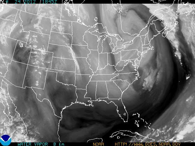
The above image shows the amount of water vapor in the air. That line of water vapor extending over western Iowa and Missouri is a result of the low pressure system and warm front approaching our state.


No comments:
Post a Comment